Digital Land Survey for the Biotope Cartography of Salzburg
Associated persons Christian Keusch, Hans Kirchmeir, Stefan Lieb
Clients Office of the Salzburg Government
Regions
Austria
Year 2006
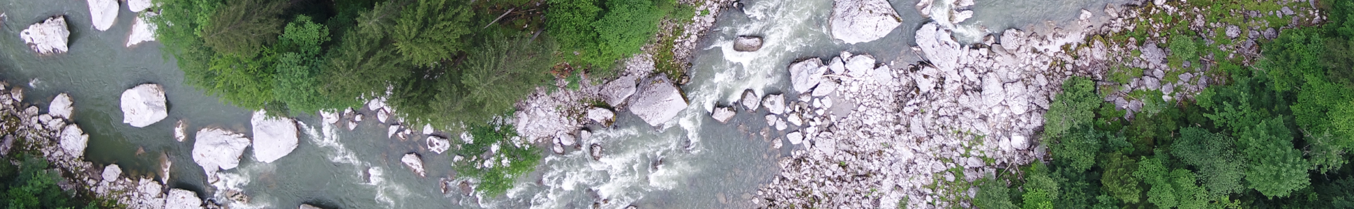
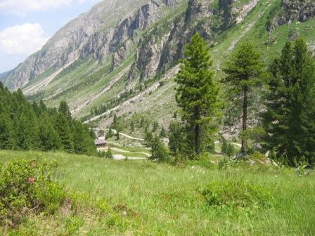
E.C.O. is undertaking biotope cartography to cover the whole of nine districts of Salzburg: Taxenbach, Rauris, Fusch, Kaprun, Uttendorf, Mittersill, Hollersbach, Bramberg and Neukirchen am Großvenediger. Together they take up an area of around 1,100 sq km. The aim of this biotope cartography is to create a scientific inventory of all the ecologically valuable habitats and the structures which are decisive for the diversity and beauty of the landscape. For the first time we are gathering the data for a project of this size digitally using GPS and PDA directly in the field. The survey methods are adapted to the outcomes of the Interreg III B-Project HABITALP and thus correspond to an Alp-wide standard.