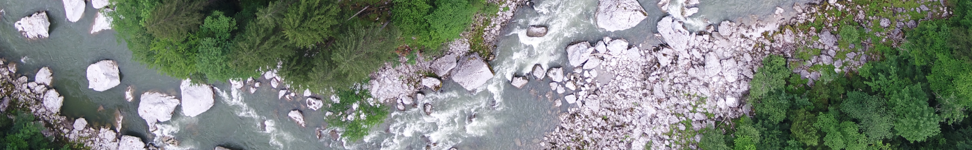
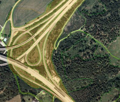
Biotope Cadastre Klagenfurt – amalgamation of existing data and evaluation of aerial photography
The city of Klagenfurt is growing dynamically, especially towards the North East, East and West. The land consumption associated with this and the loss of valuable habitats for plants and animals poses a challenge in terms of specialist nature conservation planning. A biotope cadastre is an essential element for this. Although a wide variety of data and basic information is available for the city of Klagenfurt and the surrounding municipalities, no current biotope cadastre exists for the entire area. In the context of this project, the various existing (GIS) data is being amalgamated in order to close the gaps in the biotope cadastre, create a comprehensive biotope classification and provide the city with a consistent basis for planning. In a subsequent step aerial photographs of Klagenfurt, Maria Saal and the Magdalensberg will be evaluated on the basis of orthophotos. The results of the project will provide a comprehensive localisation of the habitat types and landscape structures.